Planning tool · Wind-adjusted canopy reach
Spotting
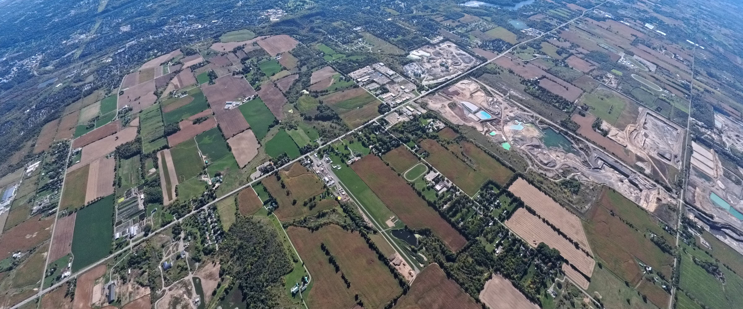
Every load opens with the same question: where do we get out? From your opening altitude in today's winds, this tool shows where your canopy actually reaches over the ground — the upwind, still-air, and downwind reach in miles and km. Spot the exit point in real numbers, not a mental guess; compare against your altimeter's distance-to-DZ readout in flight.
Pick a DZ. Save a home DZ from the home page so this tool opens straight to it next time.
Glide ratios are real JYRO figures. Forward airspeeds are approximate; actual airspeed varies with wing loading.
Planning aid only. Real range depends on the actual winds, your canopy, body position, and pilot input. Use your own judgment — you are responsible for your spot and your safety.